[Data] KUMIKI Case Studies in the Field of Architecture

Just by uploading shooting data, anyone can automatically generate terrain data without any specialized knowledge!
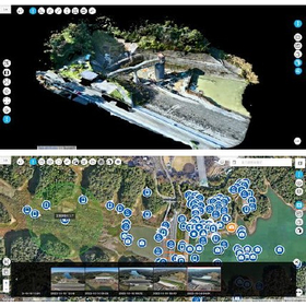
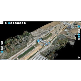
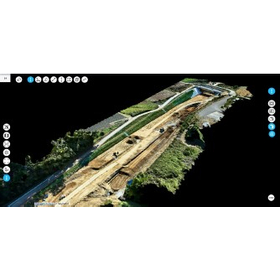
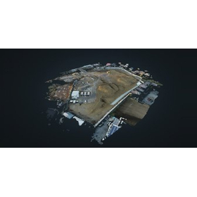
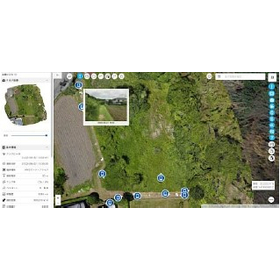
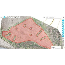
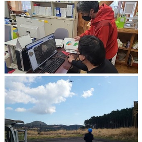
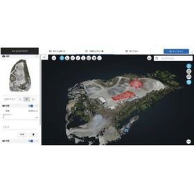
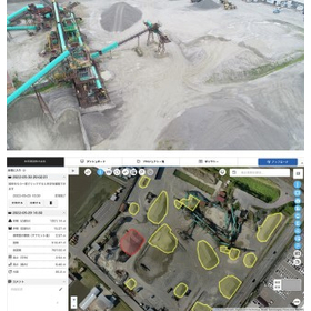
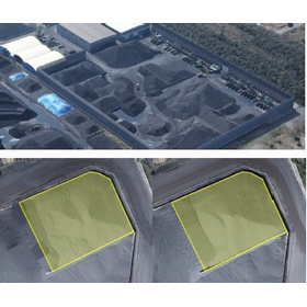
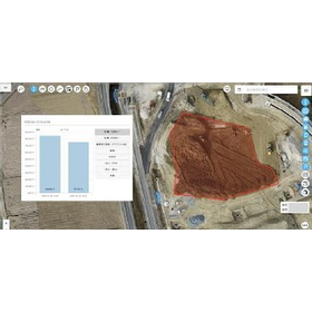
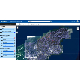
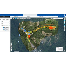
This document is a collection of case studies summarizing the features of the cloud-based drone surveying service "Kumiki" and its application scenes on construction sites. It introduces an overview of "Kumiki's" drone surveying, which can automatically generate high-quality terrain data without specialized knowledge, as well as representative companies that have adopted it. Additionally, it includes specific application scenes such as land development and construction management, illustrated with diagrams and photos, so please take a moment to read it. [Contents] ■ What is "Kumiki" ■ What is "Kumiki's" drone surveying ■ Representative companies that have adopted it ■ Application scenes on construction sites ■ Case studies of "Kumiki" usage in construction ■ Introduction to the Kumiki series *For more details, please download the PDF or feel free to contact us.
basic information
For more details, please download the PDF or feel free to contact us.
Price range
Delivery Time
Applications/Examples of results
For more details, please download the PDF or feel free to contact us.
catalog(1)
Download All Catalogs
Distributors

Our mission is to create a data platform that allows everyone to easily use drones and remote sensing technology to make their lives more convenient. In our solutions business, we provide appropriate solutions for various industries, handling everything from the acquisition to the analysis of remote sensing data. Additionally, in our data platform business, we offer a business-oriented remote sensing data platform that utilizes the vast amounts of big data accumulated by our company.