GNSS Surveying Equipment Lineup
Introducing our lineup of GNSS surveying equipment!
We would like to introduce the "GNSS surveying equipment" products that we handle. We offer products such as the Leica "GS18I," PENTAX "G6J2," and TOPCON "HYPERSR." 【Lineup】 ■Leica ・GS18I ・GS18T ・GS16 ・GS07 ■PENTAX ・G6J2 ■TOPCON ・HYPER SR ・HYPER V ・HYPER HR And more are available. *For more details, please refer to the PDF document or feel free to contact us.
basic information
**Features** ■Leica "GS18I" - Adopts innovative Pseudo-Real-Time positioning technology developed by seamlessly integrating GNSS, IMU, and camera - Capable of positioning points from images both in the field and in the office - Designed to efficiently position a large number of points - Can measure hundreds of points within minutes after capture ■PENTAX "G6J2" - Equipped with a state-of-the-art receiving board that can receive signals from GPS, GLONASS, and QZSS (Quasi-Zenith Satellite System) - Average re-acquisition time for RTK observations is about 10 seconds, remembers the previous settings, and automatically starts observations - No need for a Wi-Fi router, enabling cable-free network RTK observations ■TOPCON "HYPER SR" - Easy surveying by one person - Robust body strong enough for harsh environments - LongLink data communication - Excellent environmental resistance with IP67 rating - Achieves over 15 hours of continuous use - Compatible with Quasi-Zenith Satellite System *For more details, please refer to the PDF document or feel free to contact us.*
Price range
Delivery Time
Applications/Examples of results
For more details, please refer to the PDF document or feel free to contact us.
catalog(47)
Download All Catalogs

PENTAX G7N GNSS Receiver

[Subsidy-eligible product] 'Leica AP20 AutoPole'

[Subsidy-eligible product] 'Piling Navigation Shovel 3D-MG LPS Shovel X-M3x LN'

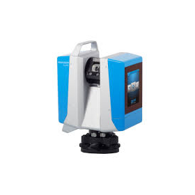
[Subsidy-eligible product] TOPCON 3D Laser Scanner "GLS-2200 Series"

PENTAX Total Station "P-100 Series"

PENTAX Mobile 2D Laser Scanner "S-2200C"

PENTAX Ground-type 3D Laser Scanner Mid to Long Range "S-3200V S-3075V"

PENTAX Total Station "X-100 Series"

PENTAX Total Station "V-500 Series"


News about this product(1)
Distributors
Yokohama Measuring Instruments Co., Ltd. is engaged in the sale, repair maintenance, and rental of surveying instruments (general surveying instruments, GNSS, laser scanners, etc.), surveying CAD software, multifunction office equipment, and other related products. We offer a lineup of products from various manufacturers such as Leica, Topcon Sokkia, and Pentax. Please feel free to contact us if you have any requests. We have established a new consulting division to support subsidy applications. We provide support for subsidy applications such as the "Monozukuri Subsidy" and the "Business Restructuring Subsidy." We also offer support for the introduction of high-value equipment utilizing subsidies! Our company will comprehensively support the necessary business plans and application procedures required for the application. If you have any other questions, please do not hesitate to let us know.


