Designated Investigation Agency | Environmental Survey of Residential Land History to Detect Risks from Past Land Use Records


Technology to eliminate blind spots in land transactions. Thoroughly scrutinizing past land use change histories and mixed-use land risks, and pre-visualizing underground soil contamination through residential land sale sampling.
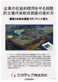
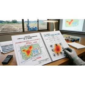
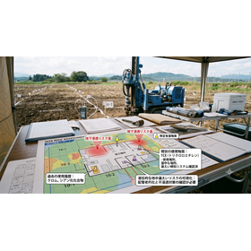
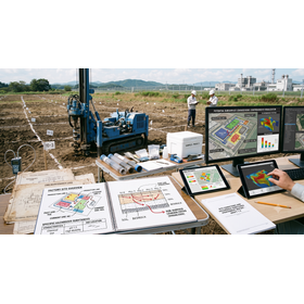
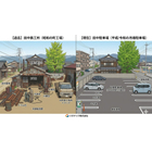
This document is a technical investigation guidance to objectively visualize the historical land risk hidden in the registration history, even if the current land is not forest or wilderness but residential land. In land transactions and real estate development, thoroughly tracing the past "land category change history" serves as a decisive defense measure for discovering hidden soil contamination and underground buried objects. In particular, land that was registered as "mixed-use land" in the past is likely to have been used as a material storage site, waste accumulation area, or a small-scale hazardous substance handling facility, necessitating careful examination. Our company conducts precise "residential land sale sampling" in addition to scrutinizing aerial photographs and administrative documents, based on the solid knowledge cultivated as a designated investigation agency by the Ministry of the Environment. This allows for the rapid extraction of the presence of specific hazardous substances that cannot be captured by paper records alone, in line with on-site practices. We comprehensively explain the optimal historical land confirmation solution that blocks fatal legal troubles such as warranty liability and damages after handover, thereby eliminating the management risks for developers and purchasers.
basic information
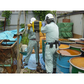
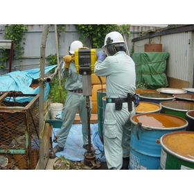
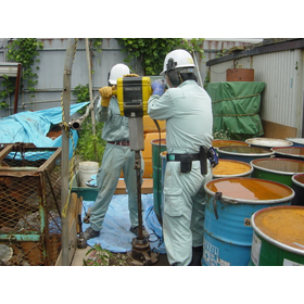
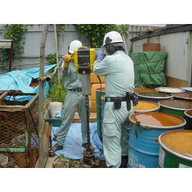
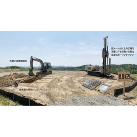
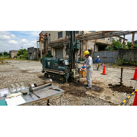
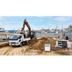
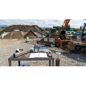
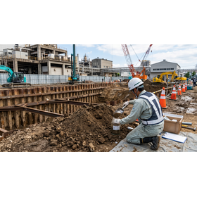
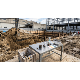
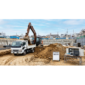
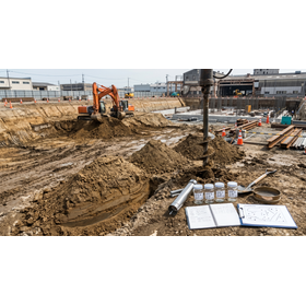
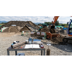
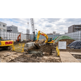
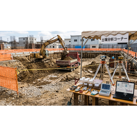
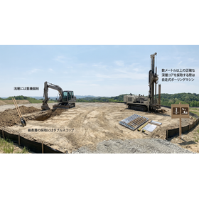
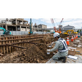
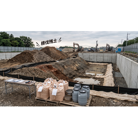
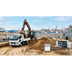
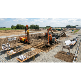
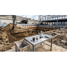
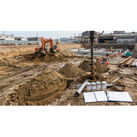
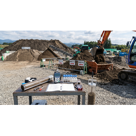
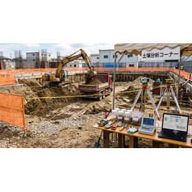
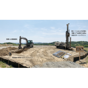
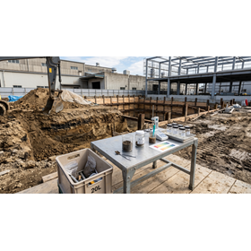
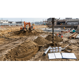
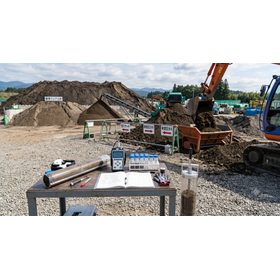
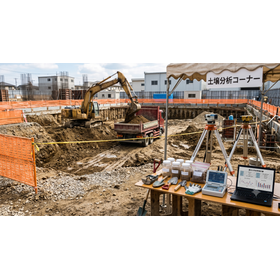
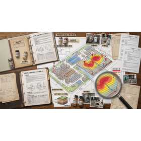
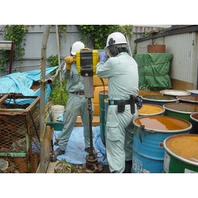
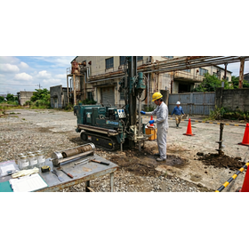
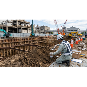
The specifications of this survey technology are based on the methods of Phase 1 (historical investigation) and Phase 2 (sampling investigation) that fully comply with the investigation guidelines of the Soil Contamination Countermeasures Act established by the Ministry of the Environment. Specifically, it involves remote analysis of old maps from the Taisho era to the present, aerial photographs from multiple periods, comprehensive tracking of past land use changes (such as mixed-use land) using closed registration records, and examination of public documents such as the registry of notifications for the establishment of specific facilities held by administrative agencies. In the sampling process, surface soil and soil gas from locations with a risk of the presence of Type 1 specified hazardous substances (volatile organic compounds) and Type 2 specified hazardous substances (heavy metals) will be precisely analyzed using official methods such as simplified boring techniques that allow for direct sampling up to a depth of 1 meter.
Price information
Price range
P3
Delivery Time
P4
Model number/Brand name
Geological and historical survey
Applications/Examples of results
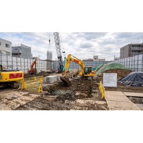
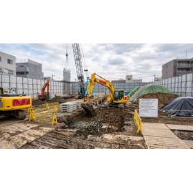
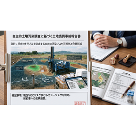
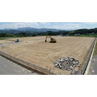
The main application scenario is the voluntary verification process conducted by real estate developers and construction companies before the sales contract when acquiring new residential land or planned condominium construction sites. This applies even to general residential land that is classified as something other than forest or wilderness, if it has undergone a change in classification in the past and has been categorized as "mixed-use land," etc. Additionally, it is utilized for preemptive risk management beyond the statutory obligations associated with the evaluation of company-owned land during asset securitization or M&A, as well as during the notification of land use changes when rebuilding factories. This helps to identify potential underground environmental defects that might be overlooked in advance, aiming to prevent transaction failures or legal disputes after delivery.
catalog(3)
Download All Catalogs