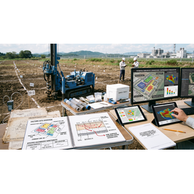
Designated Investigation Agency | Land Survey to Identify Risks of Factory Site from Past Land Use Changes
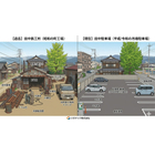
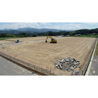


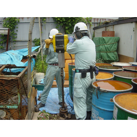
Convert the former factory site into a safe residential area. Thoroughly analyze the history of land use changes and the risks of mixed-use land, and reliably detect underground contamination through sampling of residential land transactions.
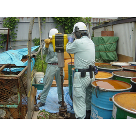
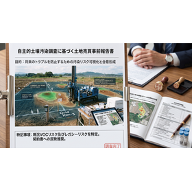
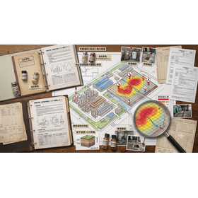
This technical document is a practical guide for operators promoting a land-use conversion project for sites resulting from factory closures, summarizing methods to detect soil contamination risks based on historical land use records. Even if the target area is currently residential land, by scrutinizing past "land use change histories" other than forests or wastelands, it reveals potential risks of specific hazardous substances associated with heavy metals and volatile organic compounds that were handled at the time. In particular, it focuses on the period of "mixed land risk," which was frequently used for temporary waste storage and drum can placement, explaining an advanced historical verification process that cross-references chronological aerial photographs and administrative ledgers. Furthermore, it covers optimal layout design for "residential land sales sampling" that should be conducted in the early stages of development planning, as well as reliable evidence-building procedures as a designated investigation agency by the Ministry of the Environment. This definitive guide completely blocks legal troubles that could lead to project cancellations, such as hidden defects and damages discovered after handover, and ensures technical support for safe, high-value-added land-use conversion and maximization of land asset value.
basic information
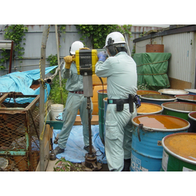
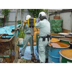
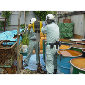
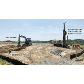
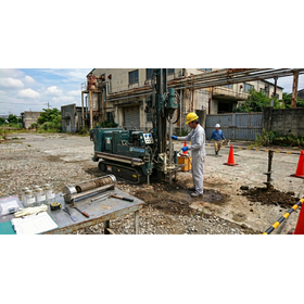
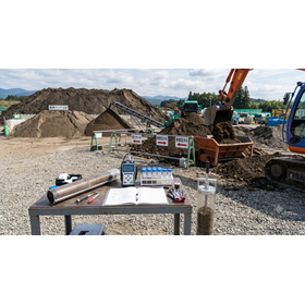
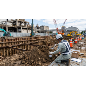
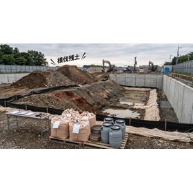
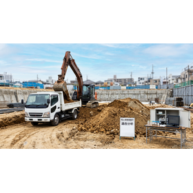
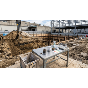
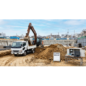
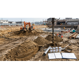
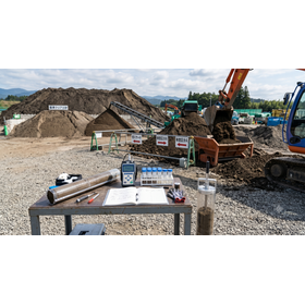
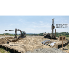
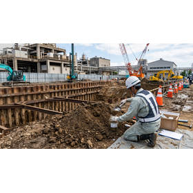
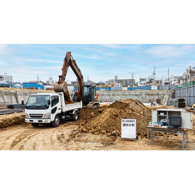
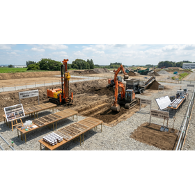
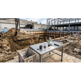
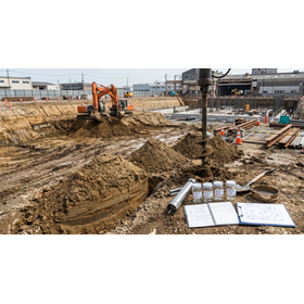
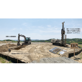
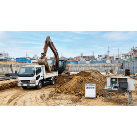
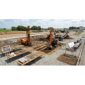
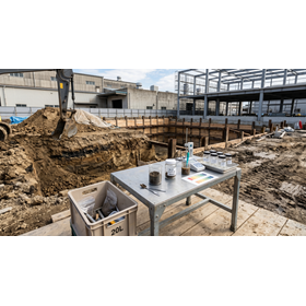
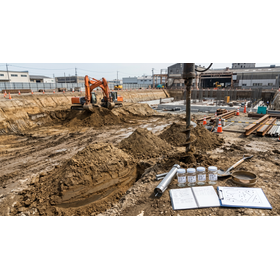
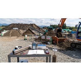
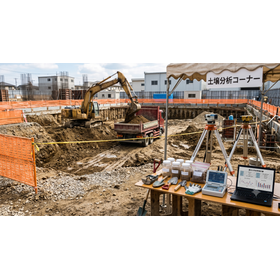
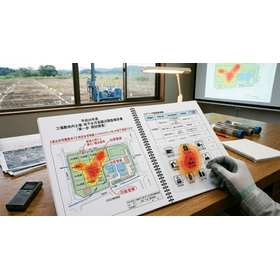
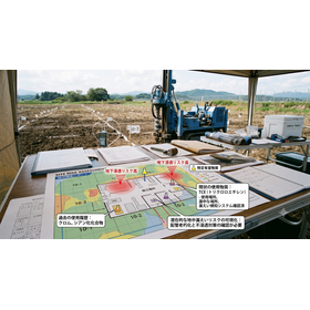
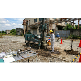
This specification complies with the standard operating regulations of designated investigation agencies based on the Soil Contamination Countermeasures Act. It includes the complete extraction of land use change history from all registration data since the Taisho era, multi-layer analysis of old maps at a scale of 1:1,000, and high-resolution aerial photographs spanning five different periods. In sampling surveys, specific hazardous substances of the first, second, and third categories are targeted, and the site is divided into units of 10-meter grids, with gas sampling and surface soil collection conducted using simplified boring techniques to a depth of 1 meter. All analyses are carried out in-house at our laboratory based on official methods.
Price information
Price range
P3
Delivery Time
P4
Model number/Brand name
Geographical and historical survey
Applications/Examples of results
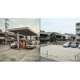
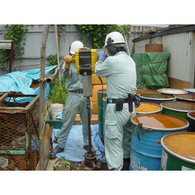
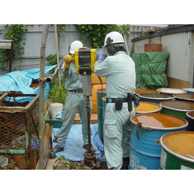
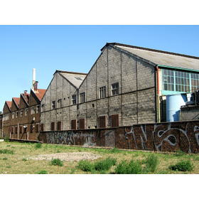
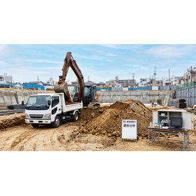
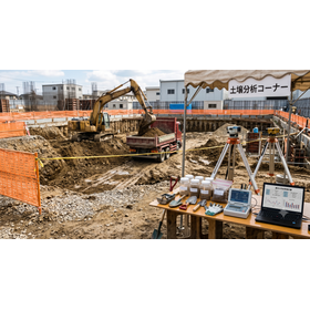
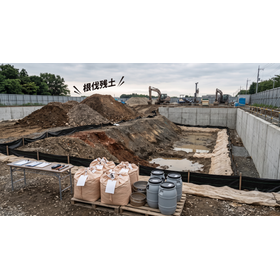
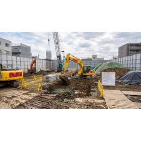
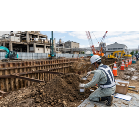
This technology is used for pre-risk assessment when changing the use of former sites such as chemical plants, metal processing factories, and vehicle maintenance shops into residential areas or condominiums. Before concluding a land sale contract, it is ideal for practical use to trace changes in land classification in the closed registry, uncovering past histories as mixed-use or industrial land, and confirming the presence of contamination such as heavy metals remaining underground through sampling. This enables the complete elimination of defect risks in land acquisition for real estate developers, the determination of environmental liabilities for landowners, and serves as a public proof of safety for residents after the change of use, making it widely applicable in practical scenarios.
catalog(2)
Download All Catalogs