Designated Investigation Agency | Measures to Address Delays in Construction Periods by Detecting Risks from Land Use History
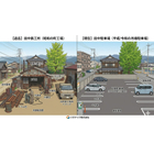
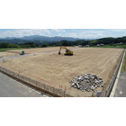
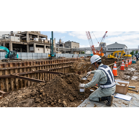
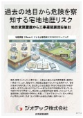
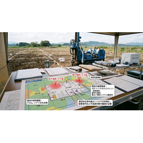
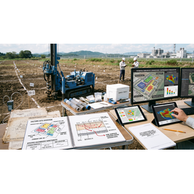
Technology that prevents construction work from stopping. By pre-examining past land use change histories and mixed-use land risks, we can reliably visualize underground contamination through residential land sale sampling.
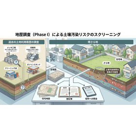
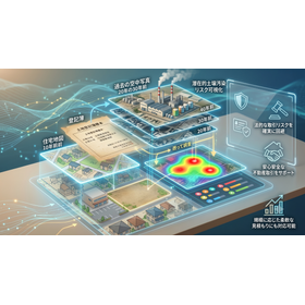
This technical document is a practical guide for construction managers and development personnel overseeing residential housing, condominiums, and commercial facility construction projects. It summarizes practical methods to detect ground risks from past land registrations, preventing unexpected construction delays and budget overruns. Even for general residential land other than forests and wilderness, thoroughly tracing the past "land use change history" is a critical risk management strategy for discovering soil contamination and underground buried objects before construction begins. In particular, it focuses on the period of "mixed land risk," which has a history of improper backfilling and material stockpiling, and shares know-how for rigorous historical verification using time-series aerial photographs and administrative documents. Additionally, it covers efficient procedures for conducting "land transaction sampling" to ensure safety before construction starts, as well as methods for obtaining reliable public evidence from designated investigation agencies. This indispensable guide completely eliminates the risk of fatal legal troubles caused by the sudden discovery of hazardous substances during excavation, ensuring the safe and planned progress of construction work.
basic information
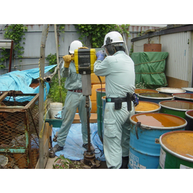
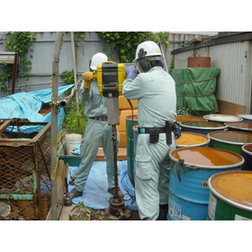
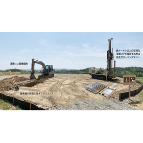
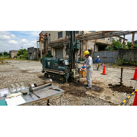
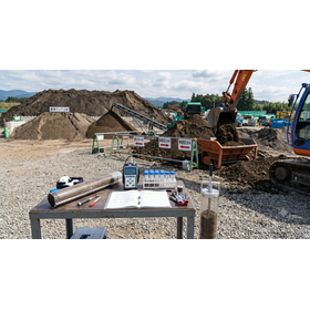
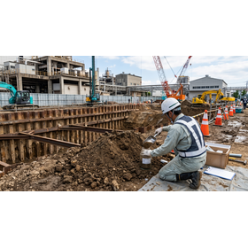
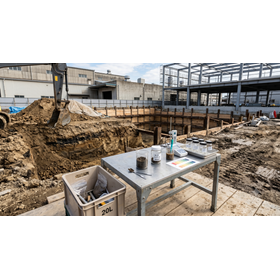
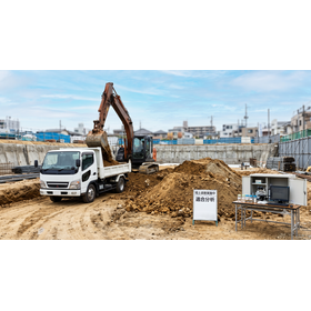
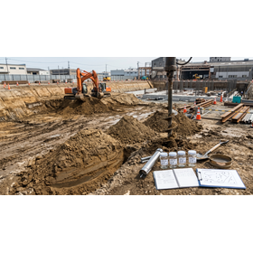
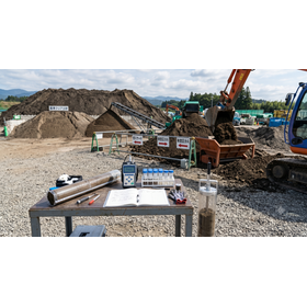
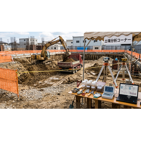
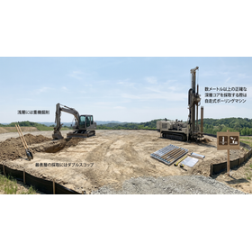
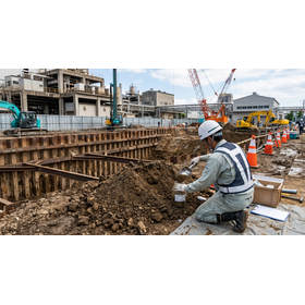
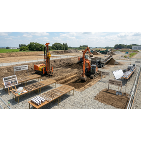
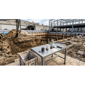
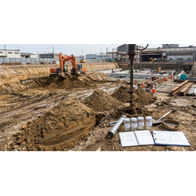
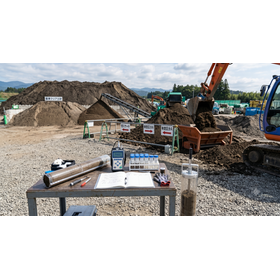
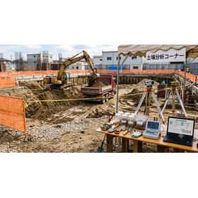
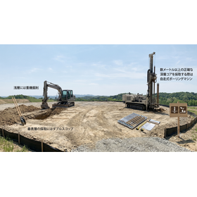
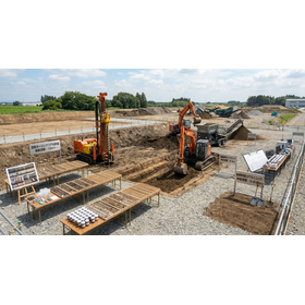
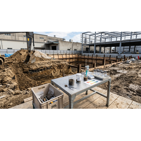
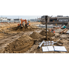
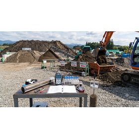
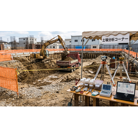
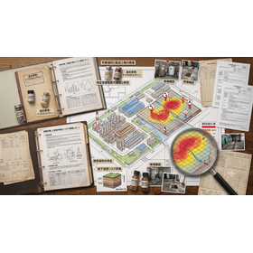
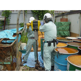
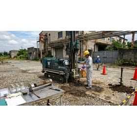
This specification is a rapid historical and sampling verification standard suitable for pre-investigation of construction and building works. It corresponds to the tracking of past land use patterns extracted from the change history of land categories in closed registries, as well as the multi-layered analysis of old maps from the Taisho era onwards and aerial photographs from multiple decades. In the on-site sampling process, soil gas and surface soil samples are collected at a depth of 1.0 meters using simple boring machines, targeting areas of concern for specific hazardous substances of the first category (volatile organic compounds) and the second category (heavy metals), based on official methods, and rapid analysis is conducted in our in-house laboratory.
Price information
Price range
P3
Delivery Time
P4
Model number/Brand name
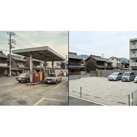
Geographical and historical survey
Applications/Examples of results
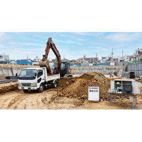
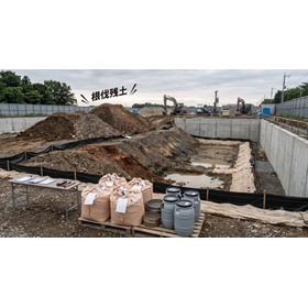
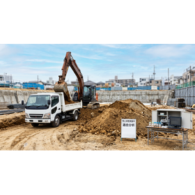
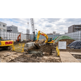
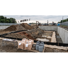
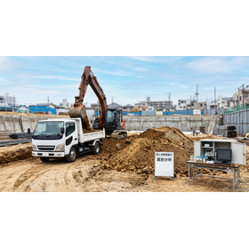
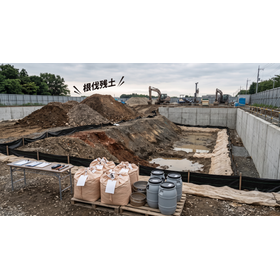
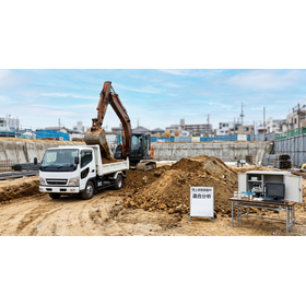
This survey is used to assess underground environmental risks before the commencement of new land development projects, condominium construction, and commercial building construction. During the land acquisition and design stages, it is optimal for identifying potential contamination risks from heavy metals and other pollutants derived from past mixed land use through land category change tracking, and for confirming underground safety through sampling. This enables the advance formulation of appropriate excavation soil treatment plans, avoidance of unexpected remedial costs, and prevention of delays in construction schedules, making it widely applicable in various scenarios.
catalog(2)
Download All Catalogs