Designated Investigation Agency | Negotiation Techniques for Real Estate Transactions by Detecting Risks from Past Land Use
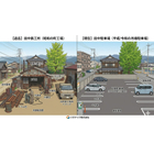
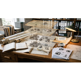

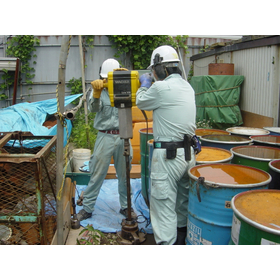
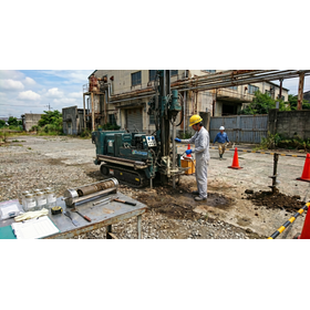
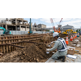
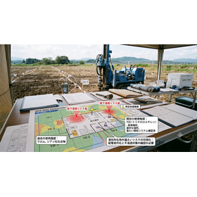
Technology to prevent the cancellation of land sales. Disclosing past land category change history and mixed-use land risks in advance, and proving the safety of underground conditions through residential land sale sampling.
This technical document serves as strategic selling guidance for landowners and asset management personnel considering the sale of their owned land, factory sites, or idle assets. It emphasizes the seller's control in clarifying historical land use risks based on past registration categories to prevent transaction cancellations or price reduction demands. Even if the current land use is typical residential, thoroughly tracing the historical "land use change history" beyond forests and wastelands becomes a crucial defense strategy to preemptively address buyer inquiries regarding soil contamination. In particular, it explains rigorous methods for objectively verifying safety using chronological aerial photographs and old maps, especially concerning the "mixed-use land risk," which is often viewed with suspicion regarding contamination. Additionally, it covers procedures for utilizing "residential land sale sampling" to foster buyer confidence and dramatically accelerate contract agreements, as well as the know-how for building reliable disclosure evidence through designated investigative agencies. This practical guide aims to completely eliminate disputes over hidden defects after transfer and ensure smooth and advantageous real estate sales.
basic information
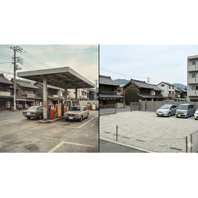
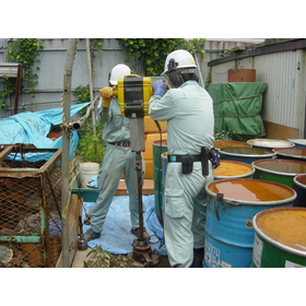
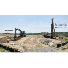
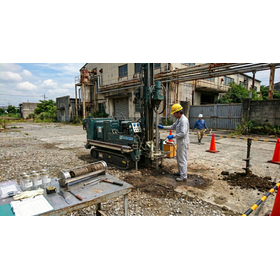
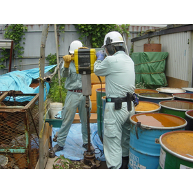
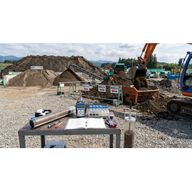
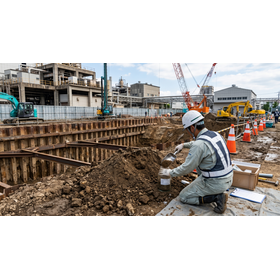
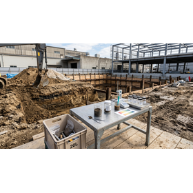
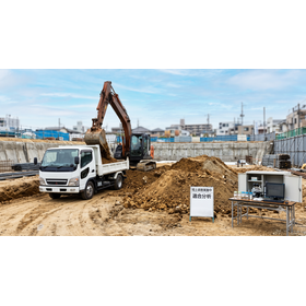
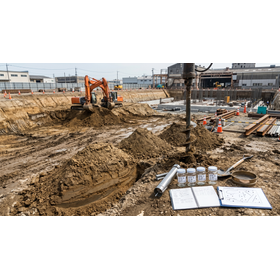
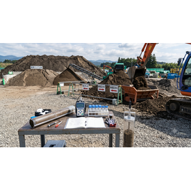
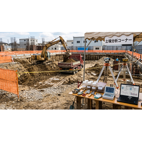
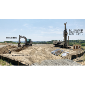
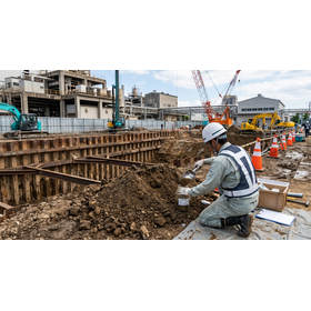
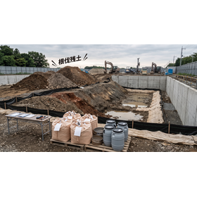
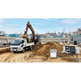
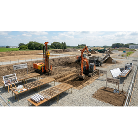
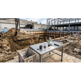
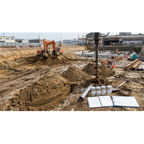
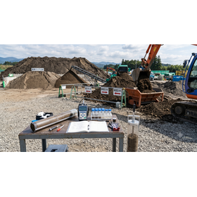
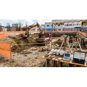
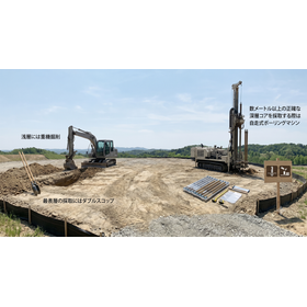
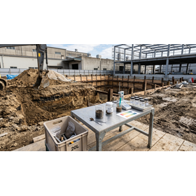
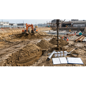
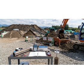
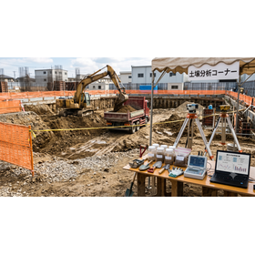
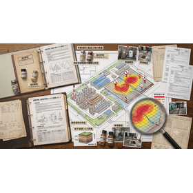
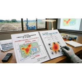
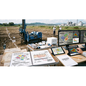
This specification is a highly reliable standard for geological history and soil analysis optimized for real estate sale disclosure. It includes comprehensive extraction of past land category change history from closed registration records and digital analysis of land use conditions using aerial photographs from three different eras. In the sampling survey process, standard method sampling is conducted up to a depth of 1.0m at points where there are concerns about the risk of the presence of Type 1 specified harmful substances (volatile organic compounds) and Type 2 specified harmful substances (heavy metals). Based on strict accuracy management standards as a designated investigation agency by the Ministry of the Environment, rapid testing and analysis are carried out in our own laboratory.
Price information
Price range
P3
Delivery Time
P4
Model number/Brand name
Geographical and historical survey
Applications/Examples of results
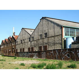
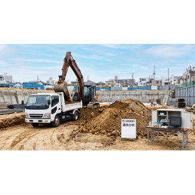
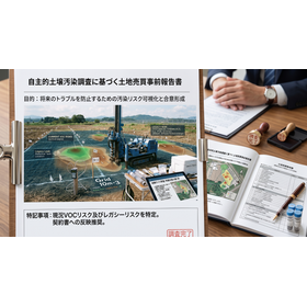
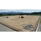
This survey is used for conducting seller-led pre-environmental due diligence when selling or transferring land assets such as factories, warehouses, and old company housing to external parties. Before negotiating the sale or concluding a contract, it is optimal for identifying potential risks from heavy metals and other contaminants stemming from past mixed-use land through land use change tracking, and for presenting reliable data on underground safety to the buyer through sampling. This helps avoid transaction cancellations due to risk discoveries just before the contract, prevents unjust discount demands, and mitigates the risk of disputes over defects after the transfer.
catalog(3)
Download All Catalogs