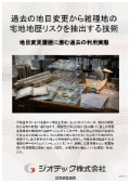
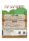
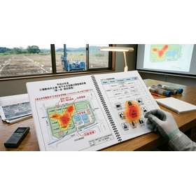
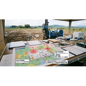
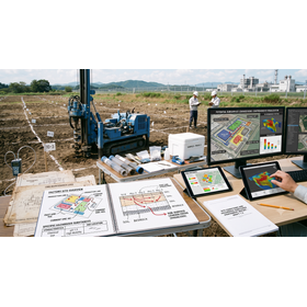
Designated Investigation Agency | Investigating the Risks of Mixed Land from Past Land Use Changes through Defect Confirmation Surveys
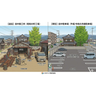
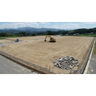


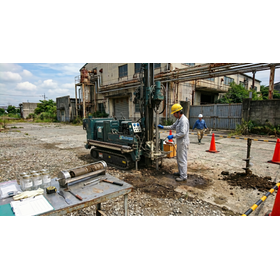
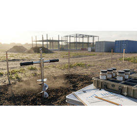
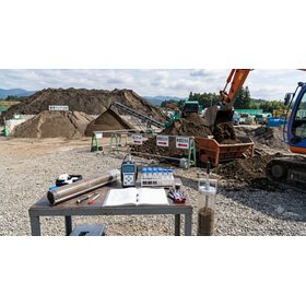
A technology that uncovers hidden defects in land. It thoroughly extracts past land use change histories and mixed-use land risks, and precisely visualizes underground contamination through residential land transaction sampling.
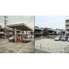
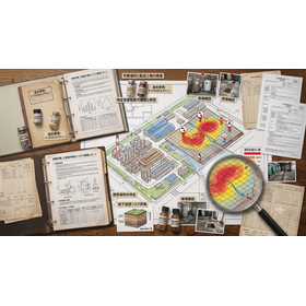
This technical document is a guide for practitioners involved in real estate acquisition, sales negotiations, or asset value assessment. It aims to extract "hidden defects" in land to the fullest extent from the land category history in the registry, in order to avoid fatal legal disputes. Even if the current status is a clean residential area, thoroughly tracing the past "land category change history" beyond forests and wastelands is the most reliable defense measure to understand potential soil contamination and underground buried objects in advance. In particular, it focuses rigorously on the period of past "mixed land risk," which is prone to contamination by specific harmful substances, using a combination of old maps from the Taisho era, chronological aerial photographs, and administrative ledgers to explain strict land history verification methods. Furthermore, it covers the appropriate point selection for "residential land transaction sampling" to build technical backing, as well as advanced official analysis practices as a designated investigation agency by the Ministry of the Environment. This document is an essential resource for practitioners to completely eliminate the risk of massive damages or contract termination due to soil contamination discovered after handover, ensuring safe and reliable land transactions.
basic information
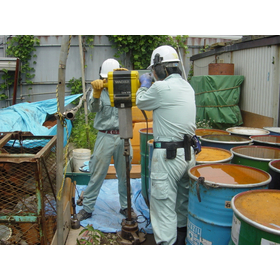
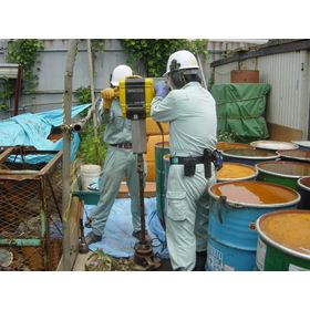
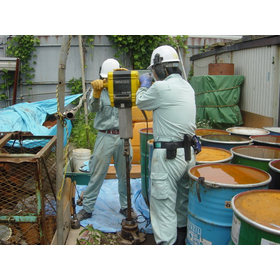
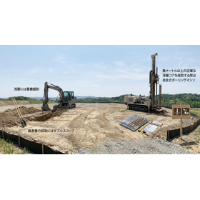
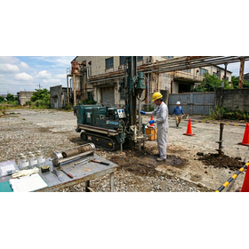
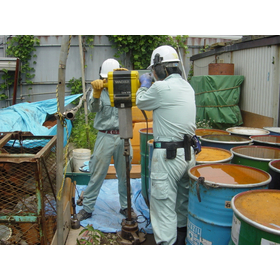
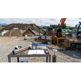
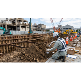
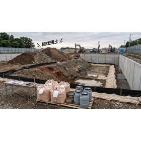
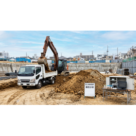
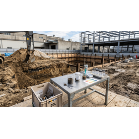
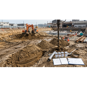
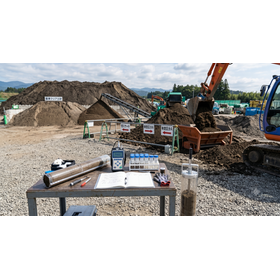
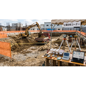
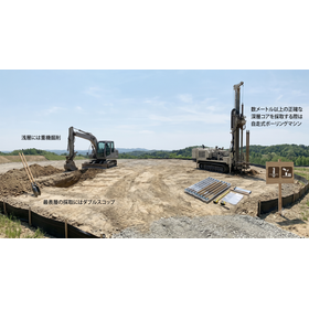
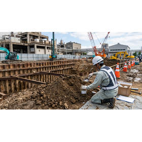
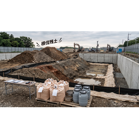
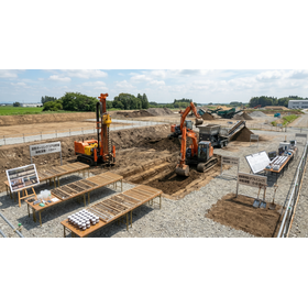
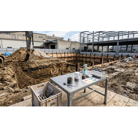
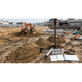
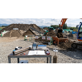
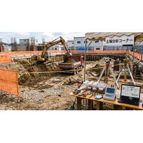
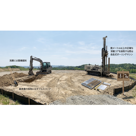
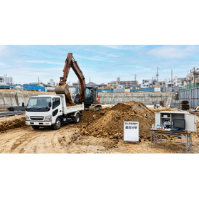
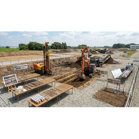
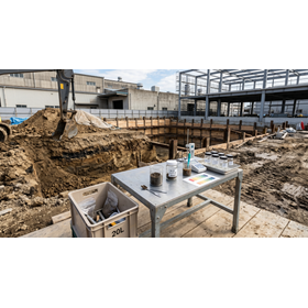
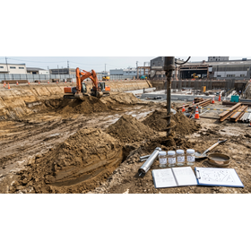
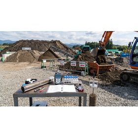
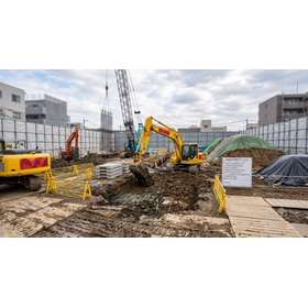
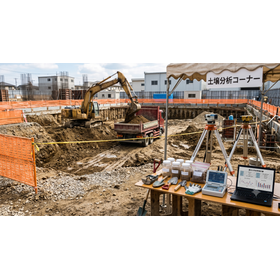
This specification is a high-precision defect extraction and soil investigation standard specialized in land use history. It tracks changes in land use over the past 100 years through a thorough examination of closed registration records and supports multi-layered three-dimensional analysis of old maps from the Taisho era and aerial photographs from four different periods. The sampling process targets specific hazardous substances such as heavy metals and volatile organic compounds, conducting soil gas and surface soil sampling at a depth of 1.0 meters in areas of concern within the target site using simple boring machines, based on official methods, followed by testing and analysis in the laboratory.
Price information
-
Price range
P3
Delivery Time
P4
Model number/Brand name
Geographical and historical survey
Applications/Examples of results
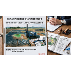
This survey is used to assess hidden defect risks in the ground prior to contracts in real estate transactions, real estate development, and M&A due diligence. For land that is a mediated residential area, it is optimal for practical use to identify past mixed-use land utilization and soil contamination risks from factory operations through land use change tracking, and to confirm the safety of the underground environment with objective numerical data through sampling. This helps eliminate legal risks related to defect liability, negotiate appropriate sale prices, and prevent disputes after delivery.