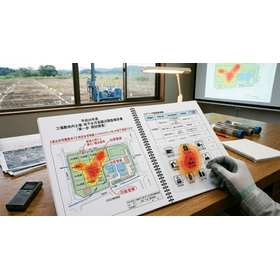
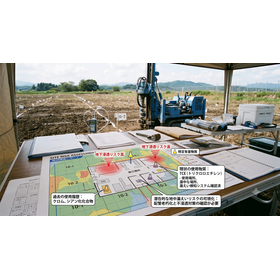
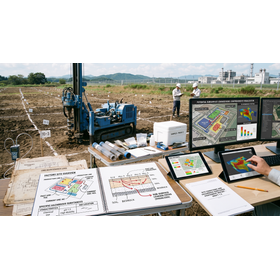
Designated Investigation Agency | Quickly Clear Risks of Urban Residential Land from Past Land Use Changes
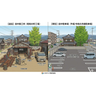
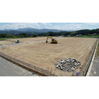


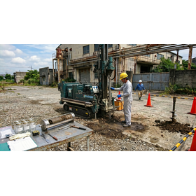
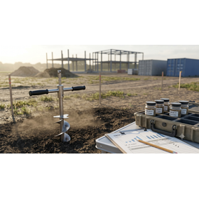
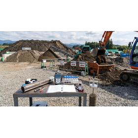
Accelerate administrative agreements and development permits. Thoroughly examine past land category change histories and mixed-use land risks, and fully meet the residual soil ordinance standards through residential land sale sampling.
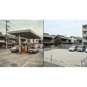
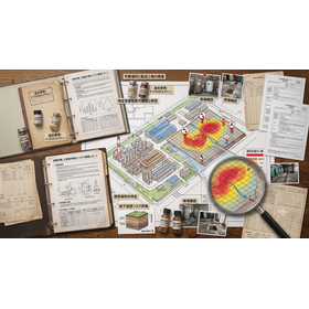
This technical document serves as an administrative guidance for businesses engaged in large-scale residential land development and construction projects, such as condominiums and commercial facilities, primarily in metropolitan areas including the Tokyo metropolitan area. It aims to swiftly navigate the increasingly complex local government regulations regarding surplus soil and development permit applications by utilizing historical land registration records. Even for residential land that is not forest or wilderness, comprehensively tracing the past "land category change history" is a crucial risk management strategy for accurately explaining ground safety during administrative consultations. The document particularly focuses on the past "mixed-use land risk" period when regulations on soil removal were strict, and it explains rigorous historical verification methods using aerial photographs and official registries. Additionally, it covers efficient sampling design for "land sale sampling" to publicly prove compliance with ordinance standards, as well as practical methods for establishing reliable analytical evidence through designated survey organizations. This specialized guide is an essential resource for completely eliminating legal and temporal risks, such as delays in review and construction start, thereby dramatically accelerating the administrative approval process in urban development.
basic information
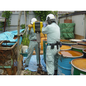
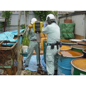
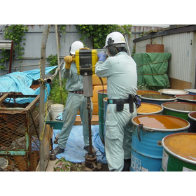
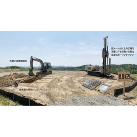
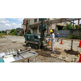
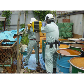
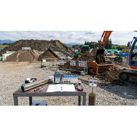
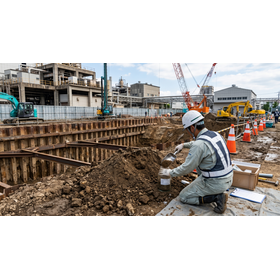
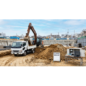
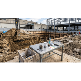
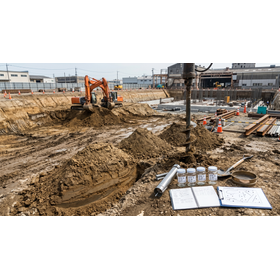
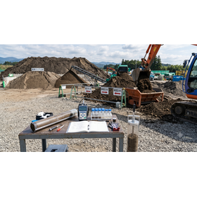
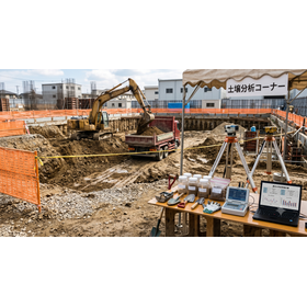
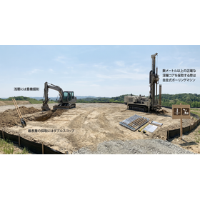
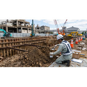
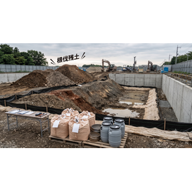
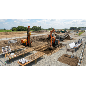
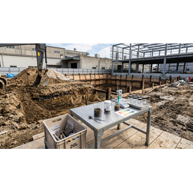
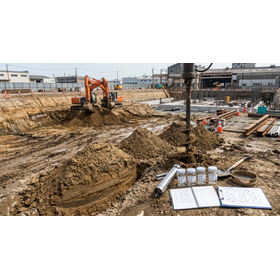
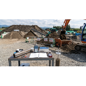
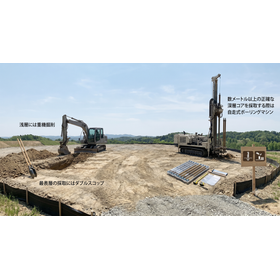
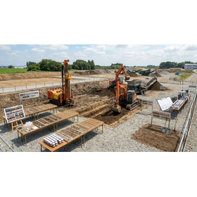
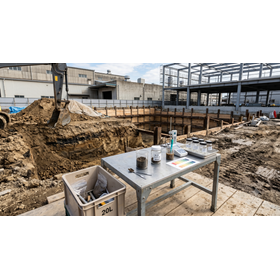
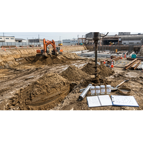
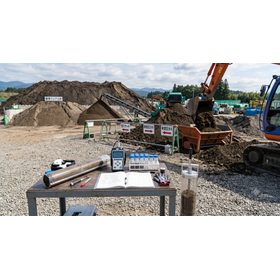
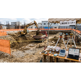
This specification outlines the standards for historical and soil analysis that comply with strict environmental regulations and soil disposal ordinances in metropolitan areas. It covers the tracking of past land use change history through the examination of closed registration records, as well as multi-layer analysis of the usage range of mixed land using old maps from the Taisho era and aerial photographs from multiple decades designated by local governments. In the sampling process, it targets Type 1 specified hazardous substances (volatile organic compounds) and Type 2 specified hazardous substances (heavy metals), conducting precise soil gas and surface soil sampling up to a depth of 1.0m based on official methods, and issuing certificates that can be directly used for municipal applications.
Price information
-
Price range
P3
Delivery Time
P4
Model number/Brand name
Geographical and historical survey
Applications/Examples of results
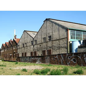
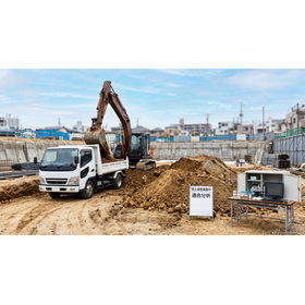
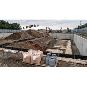
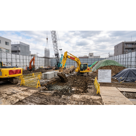
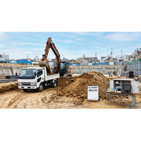
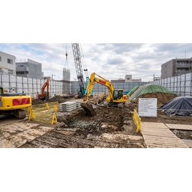
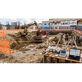
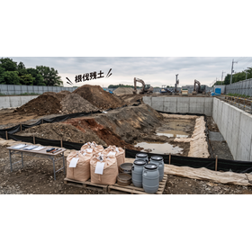
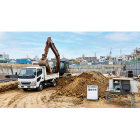
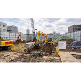
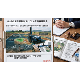
This survey will be used for development activities of a certain area or larger in urban areas, large-scale excavation of soil associated with the construction of condominiums and buildings, and for environmental compliance certification during administrative consultations based on development permit applications to municipalities and residual soil regulations. It is ideal for practical use in the initial stages of procurement and design, where potential risks from past mixed land use can be identified through land category change tracking, and underground safety can be confirmed through sampling. This will contribute to shortening the administrative review period, completely eliminating the risk of illegal disposal, and ensuring the project progresses according to schedule.
catalog(3)
Download All Catalogs