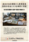
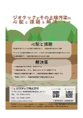
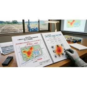
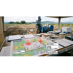
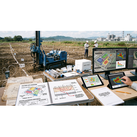
Designated Investigation Agency | Avoiding Residential Land Risks in Important Matters Explanation Based on Past Land Use History
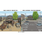
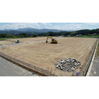
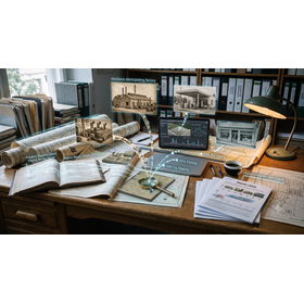

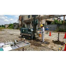
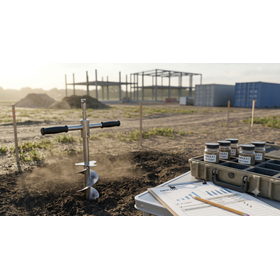
Avoid legal risks in re-explanation. Thoroughly examine past land category change histories and mixed-use land risks in advance, and ensure the cleanliness of the underground through sampling in residential land transactions.
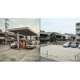
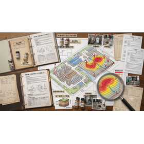
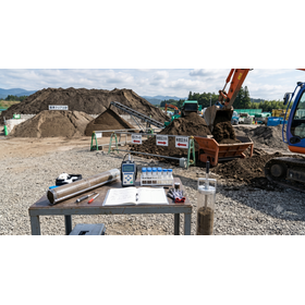
This technical document serves as practical guidance for real estate brokerage companies and licensed real estate agents leading land and housing transactions. It aims to identify legal risks associated with important matters explanations (known as "juusetsu") and contracts by examining past registration histories, ensuring the avoidance of disclosure obligation violations and post-transfer defect disputes. Even if the current status is a typical residential land, scrutinizing the past "land category change history" from closed registration records is a decisive risk management measure to discover contamination risks from specific harmful substances lurking underground and the presence of buried objects before transactions. In particular, it explains a rigorous method for verifying land history that objectively identifies actual usage by utilizing chronological aerial photographs and administrative ledgers, focusing on the historical "mixed-use land risk," which is prone to claims for damages due to disclosure omissions. Additionally, it covers procedures for utilizing "land sale sampling" to perfectly complement the descriptions in important matters explanations and accelerate buyer agreement, as well as methods for obtaining reliable public evidence from designated investigation agencies. This specialized document aims to protect the social credibility of brokerage companies and promise clean and safe land transactions.
basic information
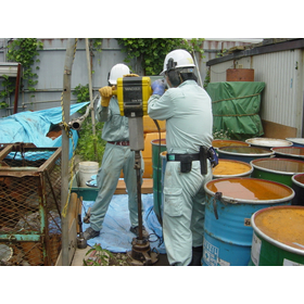
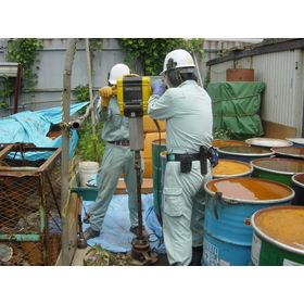
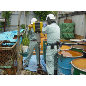
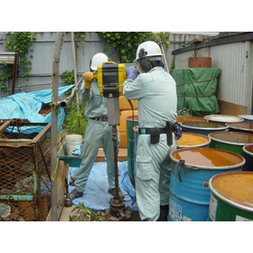
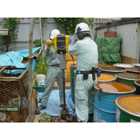
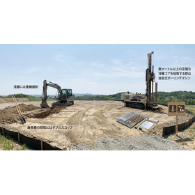
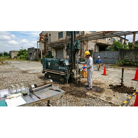
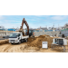
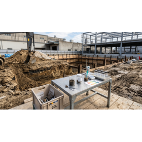
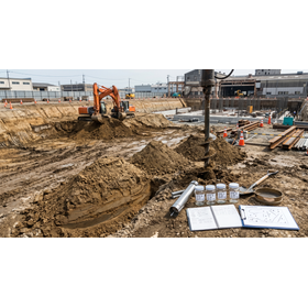
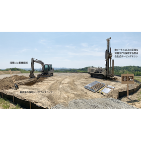
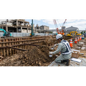
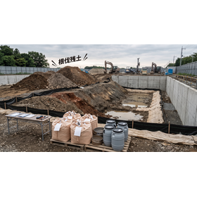
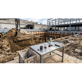
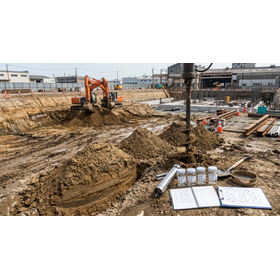
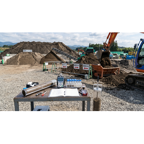
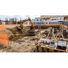
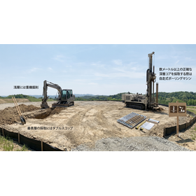
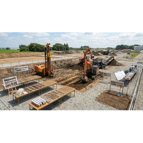
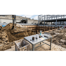
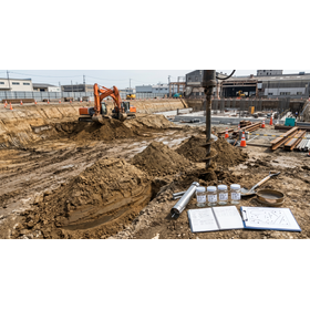
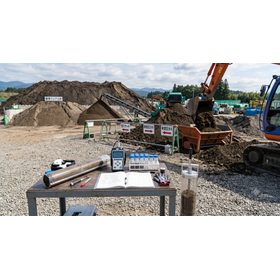
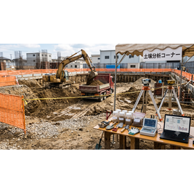
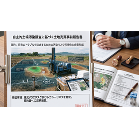
This specification is a high-precision standard for land history and soil verification that complies with the compliance and disclosure obligations of real estate brokerage practices. It tracks changes in land use over the past 100 years through a thorough examination of closed registration records and supports digital analysis of the usage range of mixed land using old maps from the Taisho era and aerial photographs from three major periods. In the sampling survey process, we precisely conduct official method sampling that covers specific hazardous substances of the first category (volatile organic compounds) and the second category (heavy metals) by collecting soil gas at a depth of 1.0m and surface soil, and we analyze the samples in our own laboratory. We will issue a survey report that can be attached as supplementary material for important matters explanation.
Price information
-
Price range
P3
Delivery Time
P4
Model number/Brand name
Geographical and historical survey
Applications/Examples of results
This survey is used by real estate brokerage companies to supplement the important matters explanation (Jyu-setsu) conducted before the conclusion of sales contracts when mediating the sale and purchase of residential and commercial land. In the early stages of transactions, it is optimal for practices that identify potential risks of specific hazardous substances in past mixed-use land through land category change tracking and confirm the safety of underground areas as objective data through sampling. This helps eliminate legal liability risks due to disclosure omissions, ensures transparency for buyers, and enhances corporate credibility during brokerage contracts.