Designated Investigation Agency | System for Smooth Transportation of Excavated Soil from Condominiums for Administrative Consultation
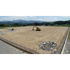
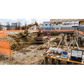

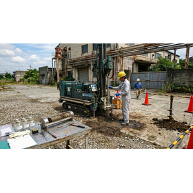
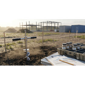
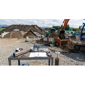
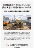
A method to facilitate complex administrative discussions with evidence managed by construction sections, allowing for the timely removal of excavated soil from the condominium through a soil removal plan and expedited public analysis.
To smoothly advance the construction permits for the condominium and the change of land use, it is essential to swiftly navigate the complex administrative discussions with the relevant administrative agencies. This document is a practical guide specifically focused on administrative measures to prevent delays in administrative reviews and discussions, ensuring that the construction schedule is strictly adhered to. It provides detailed explanations on how to create objective evidence through "management by construction zone," which serves as logical explanatory material for administrative officials, and outlines a reliable "earth and sand removal plan" flow that incorporates the notification period to local governments calculated in advance. Additionally, it summarizes how to gather accurate numerical data through "short-term public analysis" that fully complies with public standards, which is essential for expediting reviews, as well as the practical know-how of Geotech, designated as an investigative agency by the Ministry of the Environment, which has supported numerous administrative discussions. This document is an essential resource for officials who want to prevent project stagnation due to delays in administrative responses.
basic information
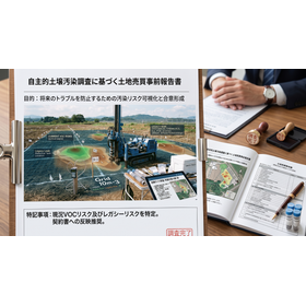
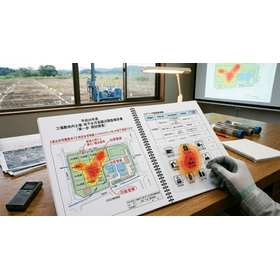
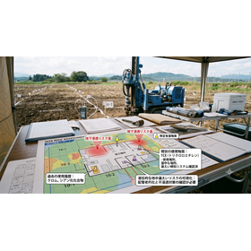
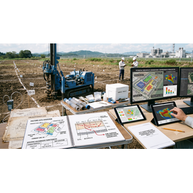
This administrative measure specification is designed with high explanatory power and logic to swiftly pass through discussions with local governments. The area-specific management specification includes a report creation function in a color mapping format that allows administrative reviewers to visually grasp risks. The sediment removal plan specification automatically covers 100% of the required details and attached documents (such as location maps, route maps, land history documents, etc.) for sediment removal notifications from each local government at the planning stage. It is designed to work in conjunction with a short-term official analysis flow, providing reliable test result data that complies with official methods, fully within the deadline for notifications.
Price information
-
Price range
P3
Delivery Time
P4
Model number/Brand name
Soil survey
Applications/Examples of results
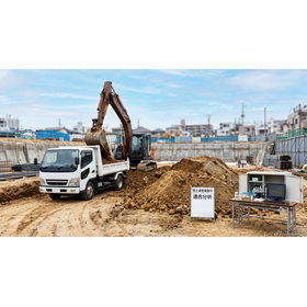
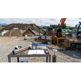
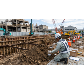
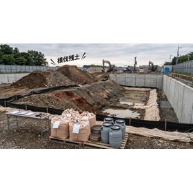
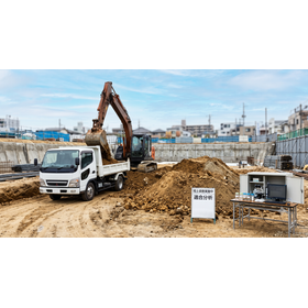
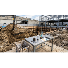
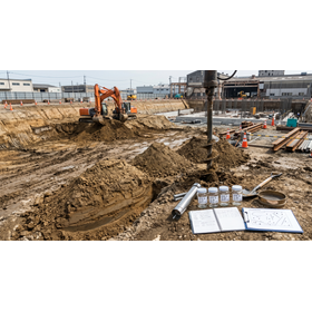
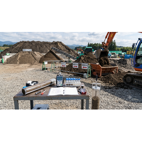
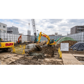
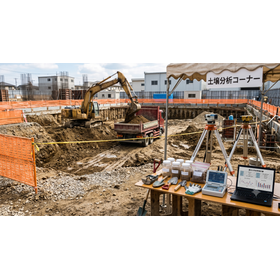
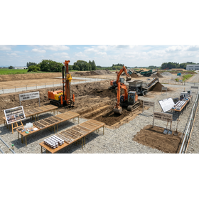
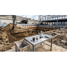
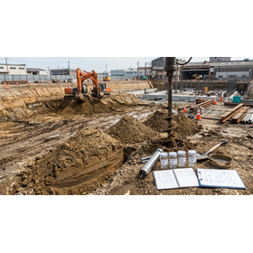
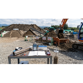
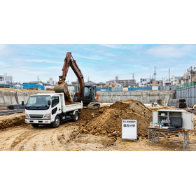
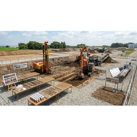
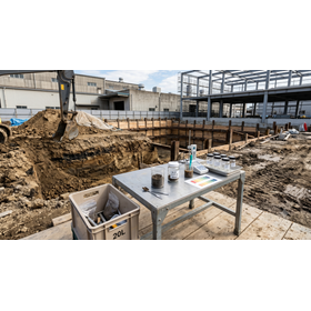
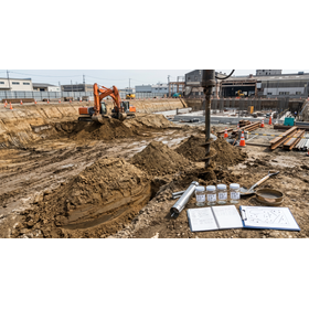
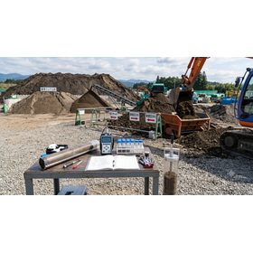
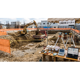
The main purpose is to apply for the notification of soil transportation to each municipality associated with condominium construction, to hold discussions with administrative officials, and to provide safety certifications at explanatory meetings for neighboring residents. It is used for administrative measures to prevent "unexpected construction stoppages" due to administrative guidance or complaints from neighbors. It is utilized to build logical management data by construction zone that satisfies the administrative side, and to create a reliable soil transportation plan that considers the surrounding road environment. Accurate figures that fully comply with official methods are quickly gathered through short-term official analysis, and it is implemented with the aim of clearing the approval process at the fastest speed to proceed with construction as planned.
catalog(3)
Download All Catalogs