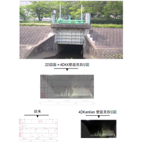
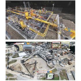
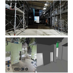
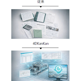
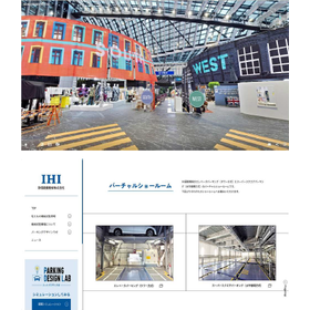
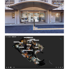
High-precision 16K spatial 3D scanner | Entertainment and digital twin production
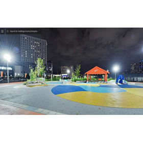
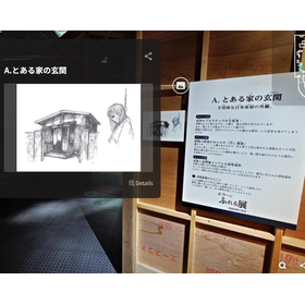
Faithfully reproducing real space with 16K panoramic photos. Smooth sharing with lightweight data. Supporting free secondary use and operation through the transfer of rights to the shooting data.
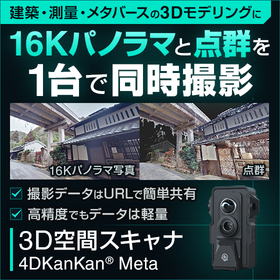
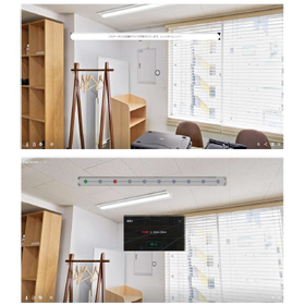
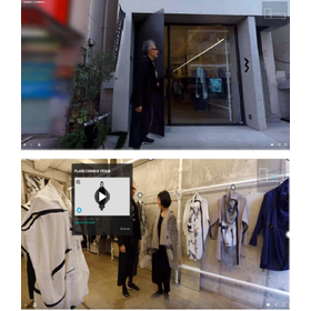
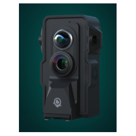
This product is a high-performance 3D space scanner designed to fully recreate real stores, facilities, and exhibition venues in a digital space. It is suitable for use in the entertainment sector, such as virtual shops and event archives. ■ Overwhelmingly lightweight data and ease of use While based on high-resolution 16K panoramic photos, the data size has been reduced to about one-fifth of that of conventional methods. It can be smoothly viewed and shared using only a web browser, without the need for a special high-spec PC or dedicated software. This minimizes loading wait times and provides a comfortable viewing experience for many users. ■ Clear rights management allows for flexible use The rights to the data captured and generated will be transferred to the customer. There are no complex restrictions such as the inability to use the data after the contract ends or additional licensing fees. Free secondary use tailored to your needs is possible, including embedding on your own site, publishing on social media, and listing on metaverse platforms. *For more details, please refer to the catalog download. You can try it out with a monthly rental.
basic information
4DKanKan Introduction: Three Key Points 1. Data Security The dedicated cloud for managing shooting data is located within Japan. Data is safely stored domestically, allowing you to use it with peace of mind. 2. Faster and More Beautiful Our products can capture data with high resolution (8~16K quality). The shooting data can be completed in as little as 5 minutes after shooting. *This applies when uploading data captured with 4DKanKan's 2point. 3. Unlimited Downloads Captured data can be downloaded. Downloaded data can still be viewed and utilized even after service cancellation.
Price range
P5
Delivery Time
OTHER
Applications/Examples of results
For more details, please contact us.
catalog(2)
Download All Catalogs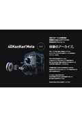
News about this product(2)
-
Announcement of the 4DKanKan Online Briefing on Starting Field DX with This Year's Budget
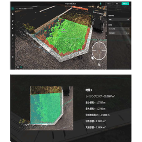
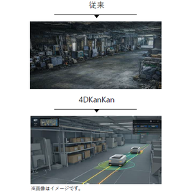
We would like to invite you to the online product presentation of "4DKanKan," a tool that promotes 3D digitalization and DX of sites and facilities. With a 3D digital twin camera that can simultaneously capture ultra-high-definition 16K panoramic photos and 1cm mesh point cloud data, you can advance the digitalization of your site without any specialized knowledge. 【Free】4DKanKan Online Product Presentation Presentation Content: 1. What is 4DKanKan? 2. Introduction of features using captured data 3. Introduction of optional services (hardware and software) 4. Use cases 5. Pricing and implementation methods 6. Q&A Do you have any of these concerns? - The burden of travel for site inspections is high - It is difficult to share the situation with just photos - You are interested in utilizing point clouds and 3D data but do not know how to implement them "4DKanKan" is here to solve these issues. It is being utilized to improve efficiency across a wide range of industries, including construction management, surveying, manufacturing, infrastructure, and events. Small starts are also possible through rentals, proof-of-concept experiments, and photography contracts. If you are considering DX initiatives for the next fiscal year, please join us.
-
[June 5, 2026 (Friday)] Announcement of the "4DKanKan Next Akiba'26" Conference.
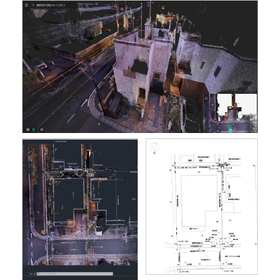
We will hold the "4DKanKan Next Akiba'26" conference. 4DKanKan is a digital twin platform that automatically generates 16K ultra-high-definition panoramic images, high-density point cloud data, and 3D models simply by walking around the site with a dedicated device. It accurately digitizes the "now" of the site across a wide range of fields, including construction, infrastructure, real estate, cultural heritage, and smart cities. We will introduce advanced technologies and various industry use cases. We sincerely look forward to your participation.
Distributors
Our company was established with a strong desire to improve the harsh working conditions of ground surveyors, enhance the reliability of ground survey data, and allow people to build homes with peace of mind. Since our founding in 2008, we have been committed to preventing fraud in the residential ground industry, starting with the GeoWeb System. This system, which suppresses and prevents tampering through automation of work and visualization of data, not only improves the workflow on-site but also contributes to the efficiency of office tasks, achieving an enhancement in the quality of ground surveys and the restoration of trust. Furthermore, by alleviating the workload, it also contributes to increasing the retention rate of ground surveyors.