[Use Case] 2D Drawing and 3D Modeling of Historical Buildings
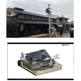
Efficient restoration and preservation of historical buildings without existing blueprints! Easy inter-departmental sharing with lightweight point cloud data.
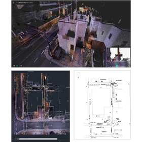
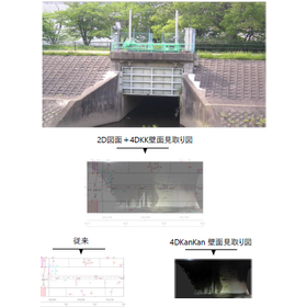
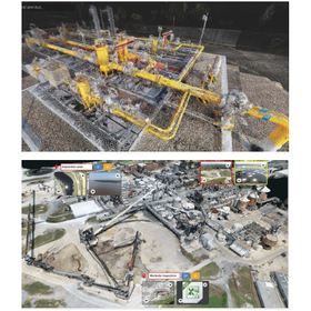
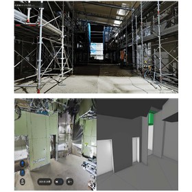
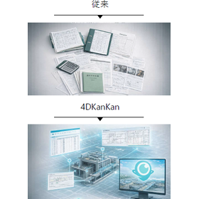
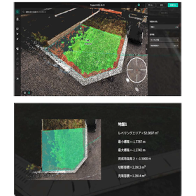
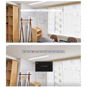
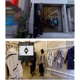
In a district where multiple historical and traditional buildings remain, we will introduce a case utilizing "4DKanKan." There were challenges such as the absence of blueprints, which made restoration and conservation planning time-consuming, and the point cloud data from other surveying equipment being too large in size, making data transfer and processing on PCs difficult. With the introduction of 4DKanKan, it became easy to switch between point cloud data and panoramic photos, significantly improving the efficiency of the workers. The on-site work was completed in about three hours, and sharing via URL was also achieved. [Case Overview] ■ Background: Preservation activities for streetscapes in a district with multiple historical and traditional buildings ■ Challenges - Lack of blueprints for historical buildings - Difficulty in creating BIM data - Excessive data size ■ Solutions - Streamlining data collection and sharing - Improving work processes - Lightweight point cloud data *For more details, please download the PDF or feel free to contact us.
basic information
For more details, please download the PDF or feel free to contact us.
Price range
Delivery Time
Applications/Examples of results
For more details, please download the PDF or feel free to contact us.
catalog(2)
Download All Catalogs
News about this product(1)

Distributors
Our company was established with a strong desire to improve the harsh working conditions of ground surveyors, enhance the reliability of ground survey data, and allow people to build homes with peace of mind. Since our founding in 2008, we have been committed to preventing fraud in the residential ground industry, starting with the GeoWeb System. This system, which suppresses and prevents tampering through automation of work and visualization of data, not only improves the workflow on-site but also contributes to the efficiency of office tasks, achieving an enhancement in the quality of ground surveys and the restoration of trust. Furthermore, by alleviating the workload, it also contributes to increasing the retention rate of ground surveyors.