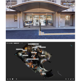
[Use Case] Streamlining Equipment Inspection and Design in Factories
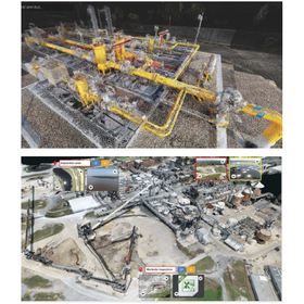
Streamline design review through visual inspection and manual work! The offline version also meets security requirements.
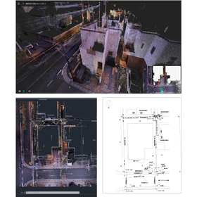
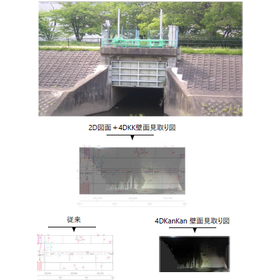
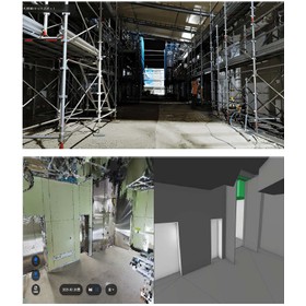
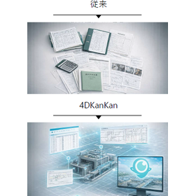
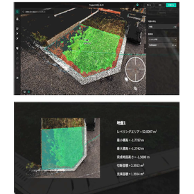
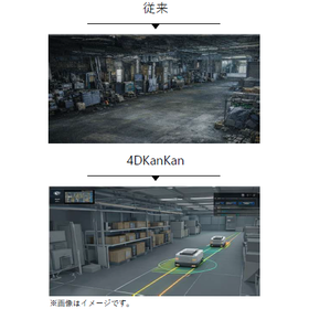
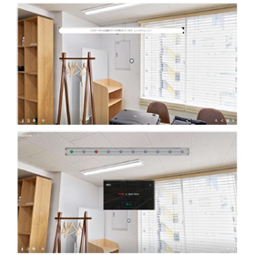
In the equipment inspection and design work of chemical plants, we will introduce examples of efficiency improvement using "4DKanKan." Due to the aging of equipment and frequent changes in the layout of factories, warehouses, and piping, there were no existing drawings, and visual inspections and manual checks were necessary for new installations, which required a lot of time for design considerations. By introducing 4DKanKan, we were able to confirm the on-site conditions within the office and reduce unnecessary work by incorporating this into our considerations. The data within the plant is managed using an offline version, which also meets security requirements. [Case Overview] ■ Background: Regular equipment inspections and the formulation of maintenance and renewal plans for plant equipment ■ Challenges - Decreased efficiency due to reliance on visual inspections and manual work - Difficulty in introducing drones ■ Solutions - Improved efficiency - Compliance with security requirements - Low-risk filming methods *For more details, please download the PDF or feel free to contact us.
basic information
For more details, please download the PDF or feel free to contact us.
Price range
Delivery Time
Applications/Examples of results
For more details, please download the PDF or feel free to contact us.
catalog(2)
Download All Catalogs
News about this product(1)

Distributors
Our company was established with a strong desire to improve the harsh working conditions of ground surveyors, enhance the reliability of ground survey data, and allow people to build homes with peace of mind. Since our founding in 2008, we have been committed to preventing fraud in the residential ground industry, starting with the GeoWeb System. This system, which suppresses and prevents tampering through automation of work and visualization of data, not only improves the workflow on-site but also contributes to the efficiency of office tasks, achieving an enhancement in the quality of ground surveys and the restoration of trust. Furthermore, by alleviating the workload, it also contributes to increasing the retention rate of ground surveyors.