[Use Case] Creation of Simulation Field
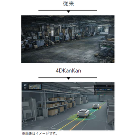
Build a 3D point cloud field that faithfully reproduces the real world! Improve the accuracy of robot route verification.
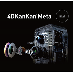
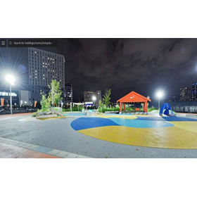
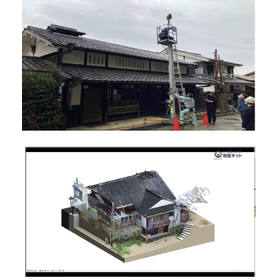
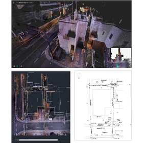
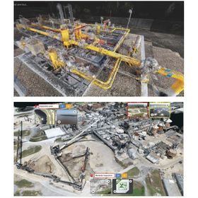
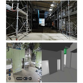
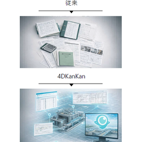
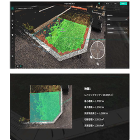
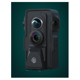
We will introduce a case study utilizing "4DKanKan Meta" for creating a simulation field aimed at the introduction of robots in the logistics and manufacturing sectors. There was a challenge where 2D drawings and outdated BIM did not accurately reflect actual obstacles, elevation differences/inclines, and equipment protrusions, leading to a disconnect between simulation and the actual site. By creating a field that reproduces the current situation based on point clouds obtained from 4DKanKan Meta, it has become possible to conduct simulations that closely resemble the actual site. Re-photographing after equipment updates is also easy, as it can be done by only re-photographing the updated areas. 【Case Overview】 ■ Background: With the increase in the introduction of automated transport robots and inspection robots, pre-route verification and safety checks have become essential. ■ Challenges - Insufficient prerequisite data for robot route consideration - Distrust in simulation results ■ Solutions - Constructing a 3D point cloud field that faithfully reproduces the real space - Ensuring ease of updates - Flexible responses such as self-photographing and only requesting OBJ creation *For more details, please download the PDF or feel free to contact us.
basic information
For more details, please download the PDF or feel free to contact us.
Price range
Delivery Time
Applications/Examples of results
For more details, please download the PDF or feel free to contact us.
catalog(2)
Download All Catalogs
News about this product(2)
-
Announcement of the 4DKanKan Online Briefing on Starting Field DX with This Year's Budget
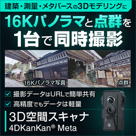
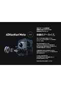
We would like to invite you to the online product presentation of "4DKanKan," a tool that promotes 3D digitalization and DX of sites and facilities. With a 3D digital twin camera that can simultaneously capture ultra-high-definition 16K panoramic photos and 1cm mesh point cloud data, you can advance the digitalization of your site without any specialized knowledge. 【Free】4DKanKan Online Product Presentation Presentation Content: 1. What is 4DKanKan? 2. Introduction of features using captured data 3. Introduction of optional services (hardware and software) 4. Use cases 5. Pricing and implementation methods 6. Q&A Do you have any of these concerns? - The burden of travel for site inspections is high - It is difficult to share the situation with just photos - You are interested in utilizing point clouds and 3D data but do not know how to implement them "4DKanKan" is here to solve these issues. It is being utilized to improve efficiency across a wide range of industries, including construction management, surveying, manufacturing, infrastructure, and events. Small starts are also possible through rentals, proof-of-concept experiments, and photography contracts. If you are considering DX initiatives for the next fiscal year, please join us.
-
[June 5, 2026 (Friday)] Announcement of the "4DKanKan Next Akiba'26" Conference.
We will hold the "4DKanKan Next Akiba'26" conference. 4DKanKan is a digital twin platform that automatically generates 16K ultra-high-definition panoramic images, high-density point cloud data, and 3D models simply by walking around the site with a dedicated device. It accurately digitizes the "now" of the site across a wide range of fields, including construction, infrastructure, real estate, cultural heritage, and smart cities. We will introduce advanced technologies and various industry use cases. We sincerely look forward to your participation.
Distributors
Our company was established with a strong desire to improve the harsh working conditions of ground surveyors, enhance the reliability of ground survey data, and allow people to build homes with peace of mind. Since our founding in 2008, we have been committed to preventing fraud in the residential ground industry, starting with the GeoWeb System. This system, which suppresses and prevents tampering through automation of work and visualization of data, not only improves the workflow on-site but also contributes to the efficiency of office tasks, achieving an enhancement in the quality of ground surveys and the restoration of trust. Furthermore, by alleviating the workload, it also contributes to increasing the retention rate of ground surveyors.