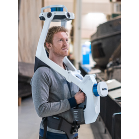
Road Surface Profiling System 'LCMS+MMS'
Cost reduction through simultaneous measurement of road surface condition surveys and mobile mapping!
The pavement condition survey is conducted using a full-spec survey vehicle that can obtain high-density point clouds with Mobile Mapping Systems (MMS) and capture high-quality images with a 360-degree camera. By simultaneously measuring pavement condition surveys (LCMS) and mobile mapping (MMS), we contribute to cost reduction. 【Features】 ■ Measurement coordinates can be obtained using MMS ■ Surrounding conditions other than the pavement can also be measured ■ Surveys conducted while driving at legal speeds ■ Automatic judgment eliminates discrepancies in judgment criteria by operators, providing quantitative judgment results *For more details, please refer to the PDF document or feel free to contact us.
basic information
【Usage Examples】 ■ Investigation of retaining walls and fences of houses that may collapse during an earthquake ■ Inspection of structures such as signs and streetlights ■ Identification of fallen trees along roads ■ Correction of road ledger ■ Urban planning ■ Resident explanations ■ Creation of vertical and horizontal cross-sections ■ Various other design assistance *For more details, please refer to the PDF document or feel free to contact us.
Price range
Delivery Time
Applications/Examples of results
For more details, please refer to the PDF document or feel free to contact us.
catalog(5)
Download All CatalogsNews about this product(1)
Distributors
In April 2016, Asco Co., Ltd. and Daito Design Consultant Co., Ltd. merged and started operations. Since our establishment, we have contributed to society as a comprehensive construction consultant involved in everything from research and planning to design for the development of various social infrastructure. This management integration has strengthened our business foundation, allowing us to respond to the demands of the times and tackle challenges through advanced and diverse business development. Currently, our country faces various challenges such as declining birth rates and an aging population, a shortage of workers in the construction industry, the aging of social infrastructure, increasing disaster risks, as well as the conservation of the natural environment and regional revitalization. In this environment, Asco Daito aims to be a company that plays a part in the development of social infrastructure, under the philosophy of "Responsibility, Happiness, Continuity" towards products, services, society, and families. We are committed to making further efforts to address the increasingly diverse and complex needs by focusing on the following three areas and striving to become the number one consulting firm: "Providing services that protect infrastructure stock and realize a sustainable society." "Offering services that assist in disaster prevention, mitigation, and recovery, protecting the land and people from natural disasters." "Providing asset management that contributes to the sound management of diversifying infrastructure."


