

3Dスキャン
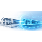
3Dスキャン
3Dスキャンとは、専用のカメラで現場を撮影するだけで、空間そのものをデジタルデータとして記録できる技術です。 【STEP 1】現場を撮影する(1名・1.5時間) 専用カメラを現場に設置するだけで、自動で360度撮影が行われます。スタッフはカメラを次の撮影ポイントへ移動させるだけ。広い現場でも短時間で完了します。 【STEP 2】クラウドに自動でアップロード 撮影データを専用クラウドにアップロード。約6時間後、自動的に3D空間データと寸法データが生成されます。スタッフは待っているだけで、別の業務に集中できます。 【STEP 3】3Dデータが完成 → そのまま活用 完成した3Dデータは、PCやスマホからいつでも閲覧可能。空間内をウォークスルーしながら、現場確認や打ち合わせ、図面作成にそのまま活用できます。 ▼ 撮影1回で、これらすべてが手に入ります 現場全体の3Dデータ(リアルな空間ウォークスルー) 寸法把握用のデータ(現場確認・概算見積・打ち合わせに活用可能) 全方位の写真記録 図面作成のベース素材
1~5 item / All 5 items
-
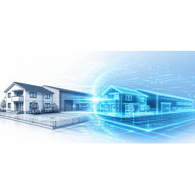
Streamlining field surveys and drawing tasks for the construction industry using 3D scanning.
Half a day for on-site investigation, a few days for drafting. During that time, we can cut about 70% or more with 3D scanning.
last updated
-
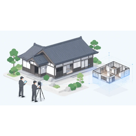
Introduction of 3D scanning: Streamlining on-site surveys of traditional houses and vacant properties.
Streamline field surveys with Matterport's 3D scanning! Improved from 2-3 cases a day with two people to about 5 cases a day with one person.
last updated
-
[Matterport Case Study] 3D measurement of the site and creation of DWG drawings.
Solve issues such as the absence of existing drawings due to renovation work and discrepancies between the drawings and the current situation!
last updated
-
[Matterport Case Study] Creating VR Spaces to Streamline On-Site Inspections
Solve the challenges of wanting to check the situation without going to the site and wanting to see the entire space from a free perspective!
last updated
-
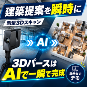
[For the construction industry] On-site surveys using 3D scanning and easy 3D design with AI.
Half a day for on-site measurement with 3D scanning, a few days for drafting, and 1 hour for 3D design [Exhibiting at the Osaka Industrial Exhibition on October 14 & 15].
last updated